
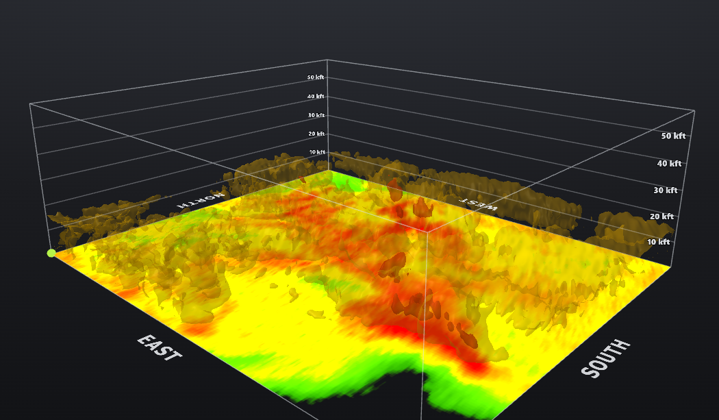
3D Storm Visualization
True-3D storm structure with height-tagged volume, rendered for broadcast and social.
Weather visualization for broadcast
CellScope builds volumetric radar renders, broadcast graphics, a model field suite, our own forecast model, and a Windows radar app.
Products
Every render follows one visual language: a dark stage, a coordinate and peak callout, and a time axis you can read without a legend.
True-3D storm structure with height-tagged volume, rendered for broadcast and social.
Cloud cover, wind, gusts, temperature and dewpoint. Customizable for broadcast.
Our in-house forecast model, behind the visuals and the guidance that goes with them.
HRRR, GFS, ECMWF, ICON and more as color-scaled map fields with a forecast timeline.
Standalone radar application for live storm tracking. Windows release first.
Why we build it this way
A broadcast graphic has about four seconds to make a point. So every CellScope render leads with the number that matters and puts the rest underneath.
All five products are in active development. Join the waitlist or follow @CellScopeRadar for release notes.